01
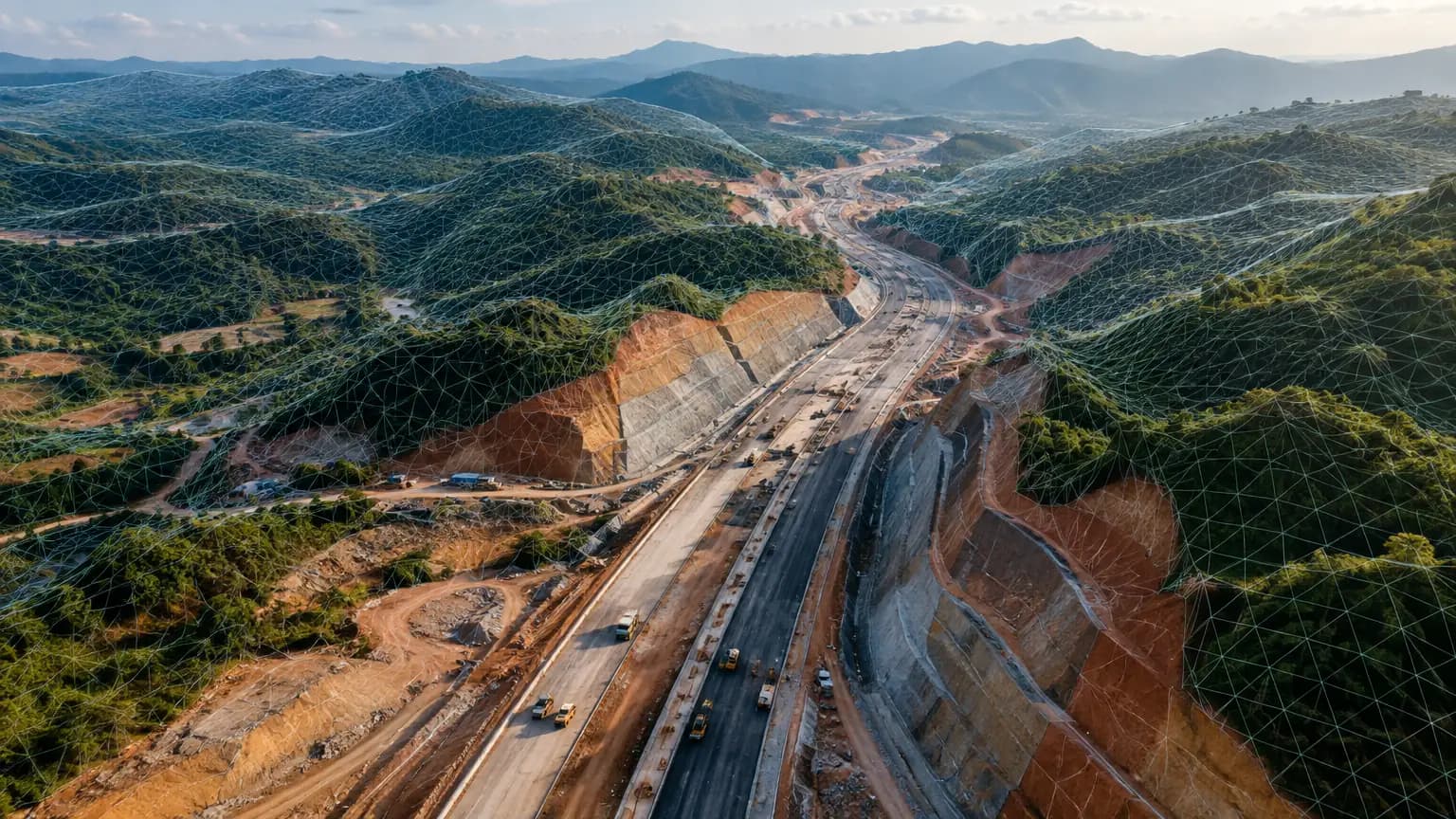
LiDAR for land and topographic survey
- Bare-earth terrain models (DTM) and contours
- Survey under bushes and tree cover
- Base maps for design and planning

NVX Dhritra · LiDAR drone, made in India
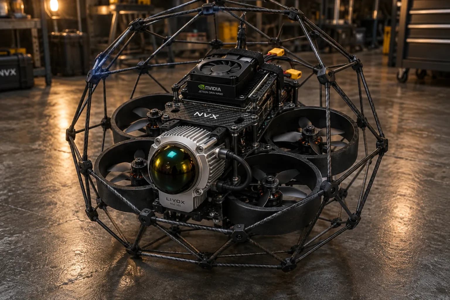
Under development at NVX, New Delhi: up to 35 minutes of flight and a 5 km range, in a protective cage for tight spaces. LiDAR 3D mapping with Dhritra is available now as a service, on order.
Meet Dhritra
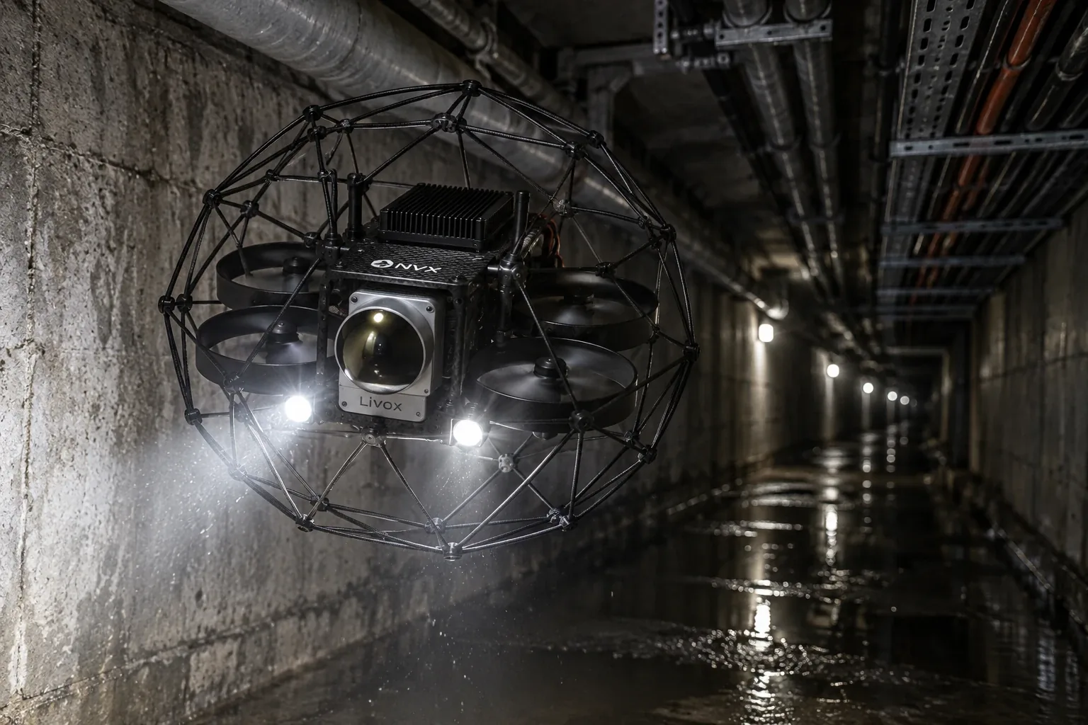
Dhritra carries a LiDAR sensor and an onboard computer inside a protective carbon cage, so it can fly close to walls and into tunnels, plants and other tight spaces. LED lights let it work in the dark. It is under development, and LiDAR 3D mapping with it is available now as a service, on order.
Why the name? Dhritra joins two Sanskrit words: Dhṛta, held or sustained, and Rāṣṭra, nation. It is built to help keep the nation's tunnels, mines, plants and infrastructure standing, by measuring them in 3D.
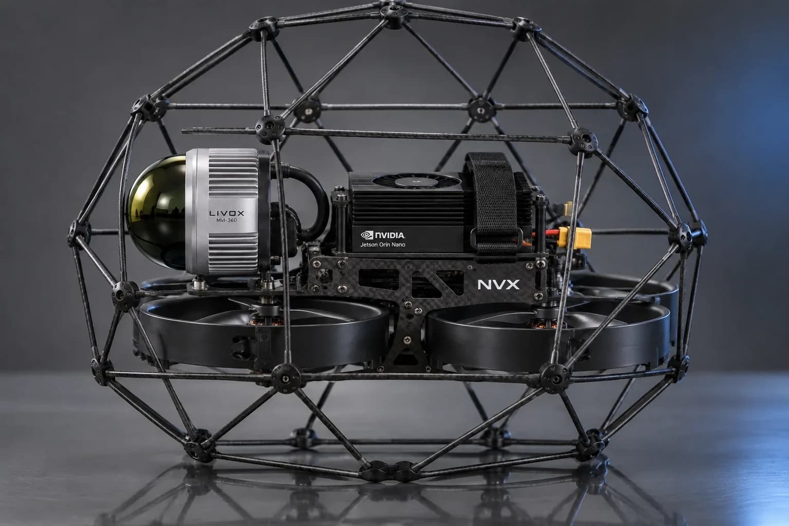
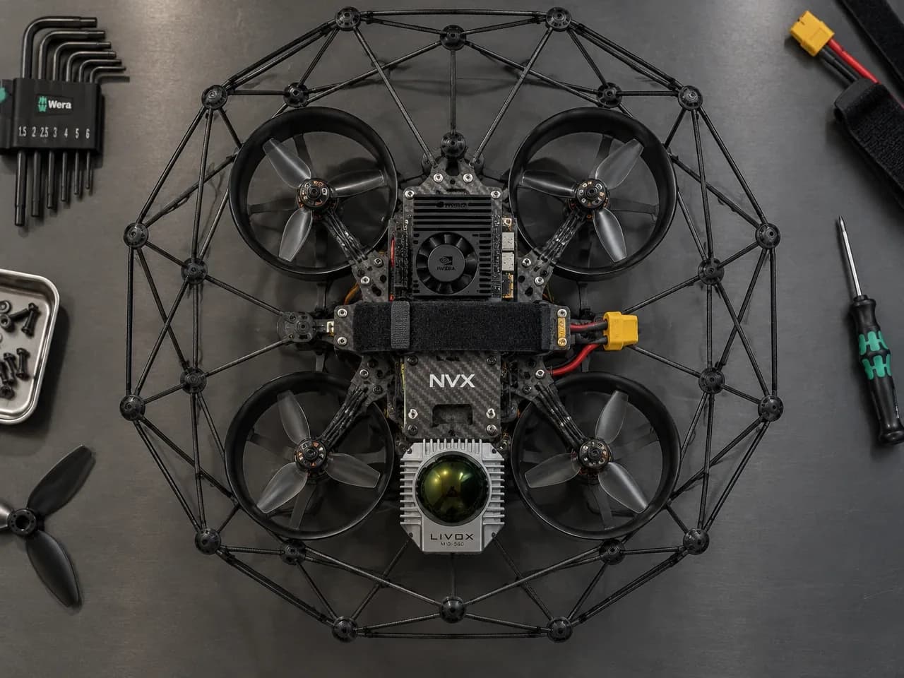
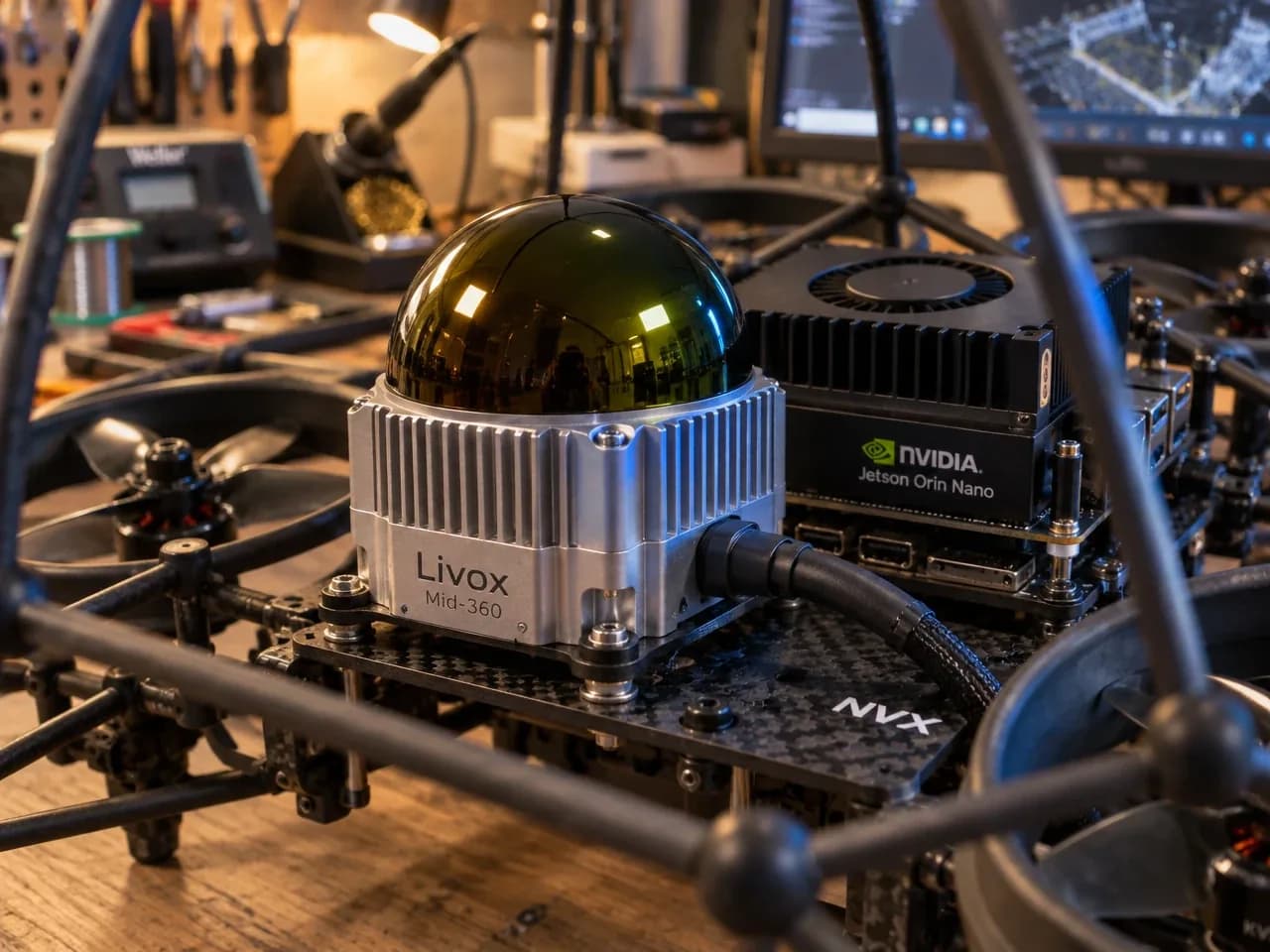
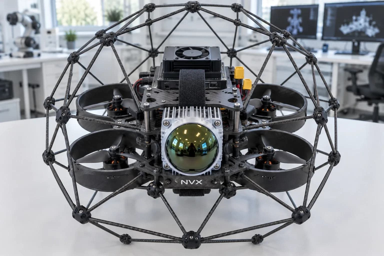
The cage protects the drone and its surroundings when it flies close to walls, so it can map inside places that are unsafe or slow for people to survey.
What is a LiDAR drone?
A LiDAR drone fires hundreds of thousands of laser pulses a second and times each return. Combined with a GNSS/IMU unit that records exactly where the scanner was, every return becomes a measured 3D point. The result is a dense point cloud that shows the ground under trees and thin objects such as power lines, which photo mapping alone cannot.
Where a LiDAR drone earns its cost over a camera drone.
01
02
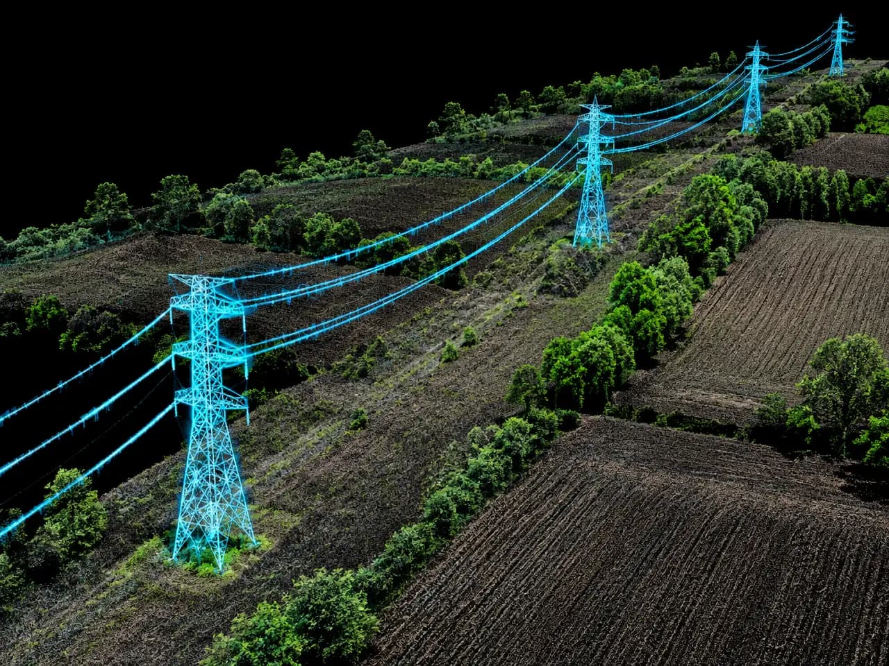
03
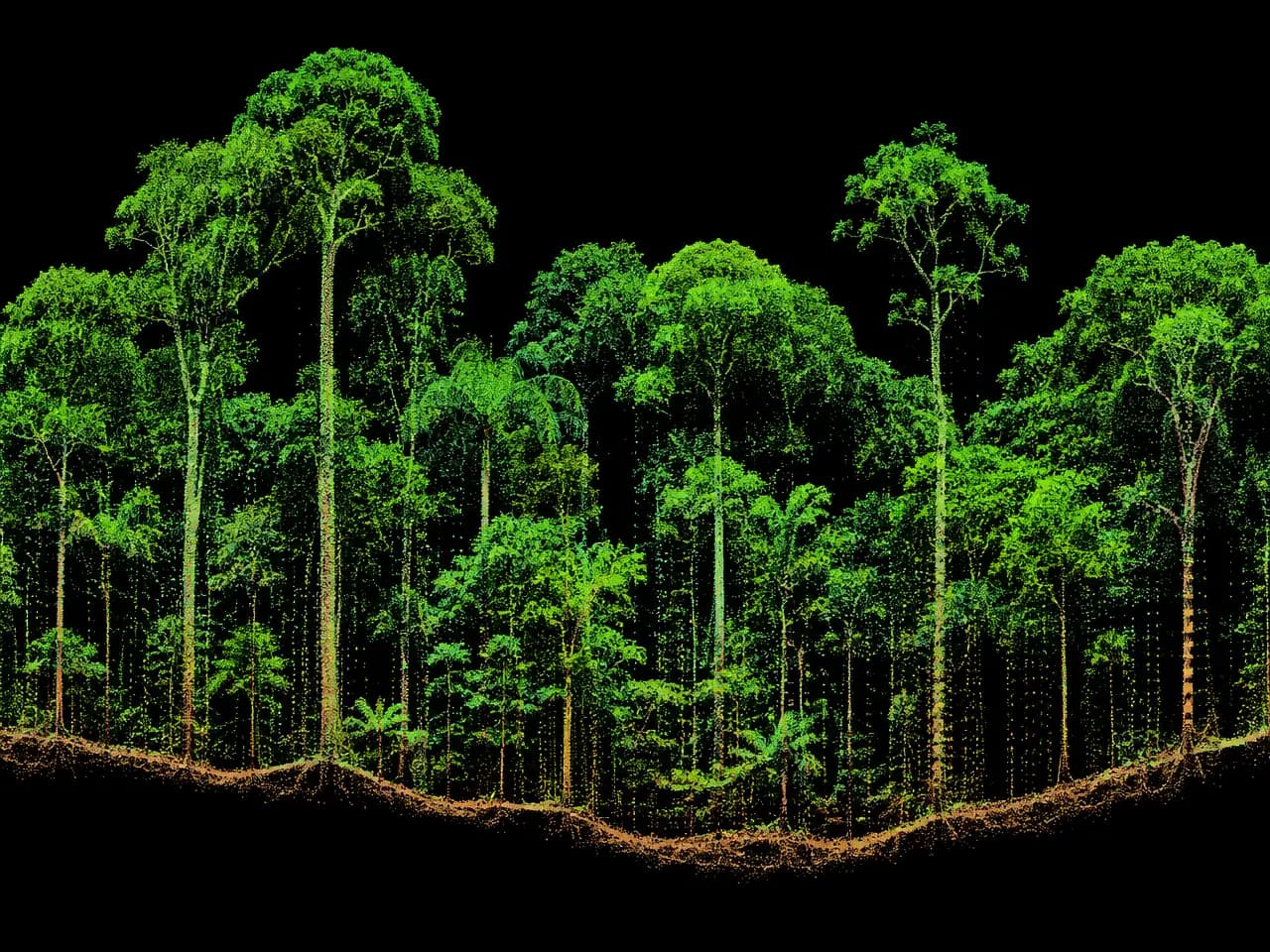
04
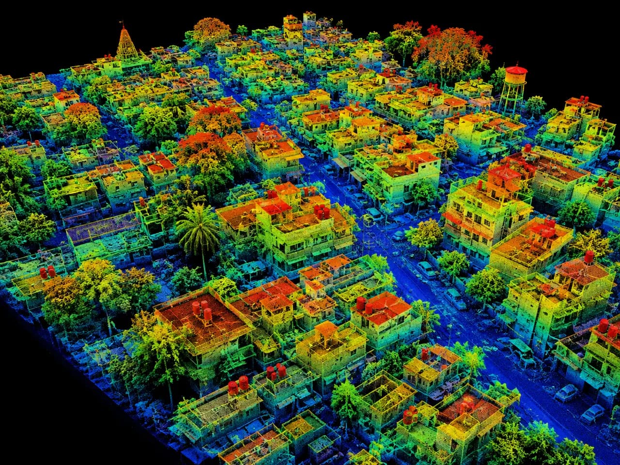
05
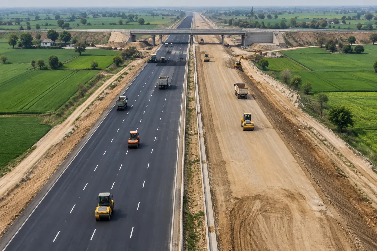
06
07
08
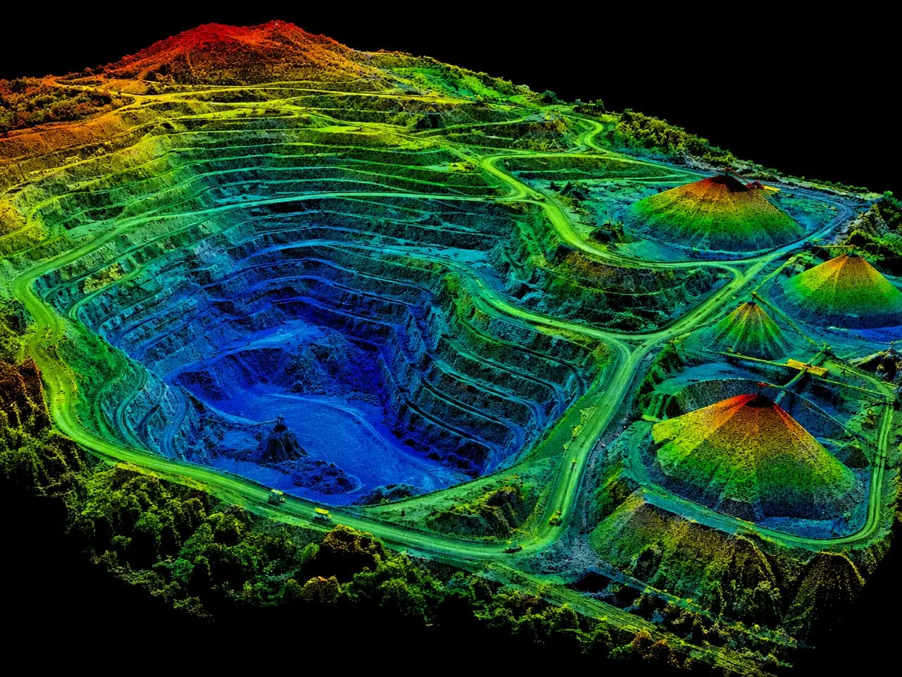
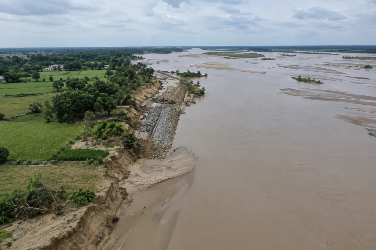
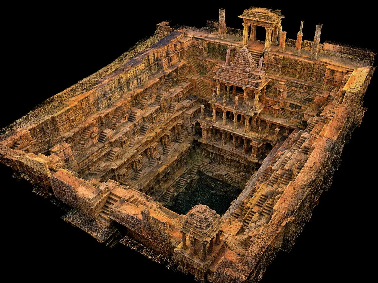
Point-cloud and landscape images in this section are illustrations, not NVX project data. Dhritra images are from NVX.
3D mapping
A LiDAR point cloud measures heights directly, ready for 3D city models and planning.
Same flight plan, same control: new buildings, cuts and fills stand out.
Standard point cloud, CAD and GIS formats for engineers and planners.
How a LiDAR drone survey works
Step 1
Area, terrain, vegetation, the accuracy needed and the deliverables decide whether LiDAR, photogrammetry or both is the right tool.
Step 2
Flight height, speed and line spacing are planned for the point density needed. The airspace zone is checked on Digital Sky, with permission where the zone needs it.
Step 3
Outdoors the drone flies parallel lines, often with a GNSS base station logging corrections. In tunnels and indoor spaces, where GPS does not reach, the LiDAR itself tracks the drone's position as it maps.
Step 4
The flight path is computed from GNSS and IMU data, and every laser return gets a real-world coordinate.
Step 5
Software separates ground from vegetation, buildings and wires, so the true terrain appears even under trees.
Step 6
Point clouds, terrain models, contours and volumes are delivered with an accuracy check against surveyed ground points.
Both make 3D maps from a drone. They measure in different ways, and the site decides which is right.
| LiDAR drone | Photogrammetry drone | |
|---|---|---|
| How it measures | Laser pulses measure distance directly | Builds 3D from overlapping photos |
| Under trees and crops | Reaches the ground through gaps in the canopy | Sees only the top surface |
| Thin objects (wires, poles) | Captures them well | Often missed or noisy |
| Colour map (orthomosaic) | Needs an added camera | Built in, very sharp |
| Low light | Works without daylight | Needs good, even light |
| Cost | Higher: scanner, GNSS/IMU and software | Lower |
| Best for | Forests, corridors, power lines, terrain under cover | Open ground, stockpiles, construction progress |
General comparison. Many projects use both: LiDAR for the terrain, a camera for the colour map.
LiDAR drones and LiDAR surveys are priced on quotation. These are the main reasons quotes differ.
Rules: LiDAR flights follow the Drone Rules 2021: a UIN on Digital Sky, a pilot with a Remote Pilot Certificate, and permission before flying in yellow or red zones. India's geospatial guidelines of February 2021 let Indian entities collect and produce map data without prior approval, outside restricted areas.
The words you will see in LiDAR quotes and reports.
For open sites, stockpiles and construction progress, NVX offers drone survey and mapping services across India, flown with Saksham, our Indian made RTK drone. Read the drone mapping guide to compare methods.
A drone that carries a laser scanner, a GNSS/IMU positioning unit and often an RGB camera. It measures the ground and objects as a 3D point cloud, including the ground under trees.
Yes. NVX Dhritra is NVX's own made in India LiDAR drone for 3D mapping, under development in New Delhi.
Up to 35 minutes of flight time and a 5 km range.
Not yet: it is under development. You can already book LiDAR 3D mapping with it as a service, on order.
Yes, on order. Tell us the site, the area or length to map, the accuracy you need and your deadline, and we send a written quote.
Dhritra joins two Sanskrit words: Dhṛta, held or sustained, and Rāṣṭra, nation. It is built to help sustain the nation's infrastructure by mapping it in 3D.
LiDAR drones are sold on quotation. The scanner, GNSS/IMU grade, camera, drone endurance, software and training decide the price. Ask NVX for a quote for your use.
LiDAR surveys cost more per acre than standard photo mapping because of the equipment and processing. The area, vegetation, accuracy and deliverables decide the price, so compare written quotes.
For forests, corridors, power lines and terrain under cover, usually yes. For open ground, stockpiles and construction progress, photogrammetry is often enough and costs less. Many projects use both.
Not through solid leaves, but laser pulses pass through gaps in the canopy, so some returns reach the ground. That is how LiDAR maps the terrain under forests.
It depends on the scanner, the GNSS/IMU, flying height and ground control. Survey projects check accuracy against surveyed points on the ground.
The scanner unit fitted to the drone, usually combining the laser scanner, the GNSS/IMU and a camera in one housing.
The drone needs a UIN on Digital Sky and the pilot a Remote Pilot Certificate. Green zones need no flight permission; yellow and red zones need permission first.
Land survey, mining, power transmission, roads and rail, forestry, urban planning, flood studies, construction and heritage documentation.
Yes. Dhritra is being developed by NVX in New Delhi.