Land and cadastral survey
Accurate maps and orthomosaics for land records and planning.

Survey and mapping
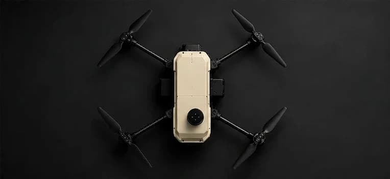
Saksham's RTK positioning and long endurance make it a strong fit for land survey, mining volumetrics, construction progress and corridor mapping - with NVX support for configuration, training and maintenance in India.
Common mapping and survey work NVX customers discuss with us.
Accurate maps and orthomosaics for land records and planning.
Volume measurement and site monitoring.
Regular site captures for progress and as-built checks.
Roads, rail, pipelines and power lines.
Field mapping before spraying or crop assessment.
Base maps for smart-city and municipal projects.
RTK (real-time kinematic) corrects GPS errors in flight, giving much more precise image positions than standard GPS. That means fewer ground control points, faster field work and more reliable maps.
Typical outputs from a mapping flight, processed in photogrammetry software.
A single, measurable top-down image of the whole site.
Surface and terrain heights for drainage, earthwork and planning.
Contour lines for site design and land development.
Stockpile and cut-and-fill volumes for mining and construction.
Point clouds and meshes of buildings and structures.
Repeat flights that show change over time on a project.
Good maps start before take-off: choose the flying height for the detail you need (ground sample distance), plan 70-80% image overlap, fly in steady light, and check the Digital Sky airspace map for the site. With RTK, fewer ground control points are needed, but a few check points still confirm accuracy.
NVX supports mapping customers with configuration advice, operator training, RTK and sensor calibration checks, and repair and maintenance from New Delhi.
FAQ
RTK corrects positions in real time during flight; PPK applies corrections after the flight. Both improve accuracy over standard GPS.
Yes. Saksham supports RTK positioning.
Saksham offers 55+ minutes of flight time, depending on payload and conditions.
Commercial operations in India generally need a registered drone and a certified remote pilot under the Drone Rules 2021.
NVX offers on-site product training. Ask about your team's needs in the enquiry.
Get a quote
NVX replies with a recommended configuration and quotation.
Related