RTK or PPK
Precise positioning cuts the need for ground control points. It costs more but saves days in the field.

Buyer's guide
By the NVX engineering team, New Delhi
A mapping drone can pay for itself quickly, or sit unused in a cupboard. This guide explains what survey drones cost, what drives the price, and when it makes more sense to hire a survey service by the acre.
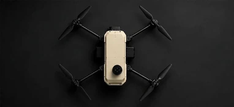
The main things you pay for.
Precise positioning cuts the need for ground control points. It costs more but saves days in the field.
A larger sensor and mechanical shutter give sharper maps.
More minutes per flight means more acres per battery.
Multirotors are flexible. VTOL fixed-wings cover far larger areas per flight.
Photogrammetry licences are often a separate yearly cost.
Operator training and local repair keep projects on schedule.
Drone survey services in India often charge per acre, with prices that vary by accuracy, deliverables and site. If you survey regularly, as a surveyor, construction or mining company or government department, owning a drone usually costs less within a few projects. For a one-off job, hiring can make sense.
Saksham offers RTK positioning, 55+ minutes of flight and up to 15 km range, built and serviced in India. NVX helps with configuration, training and calibration checks.
FAQ
Not always, but RTK greatly reduces ground control points and field time and improves map accuracy.
RTK corrects positions during the flight, while PPK applies corrections afterwards. Both improve accuracy over standard GPS.
Saksham is priced by quotation based on configuration. Share your survey requirement for a price.
Yes. Survey drones must be registered on Digital Sky, and commercial operators need a Remote Pilot Certificate.
Talk to NVX
Call +91 95609 21619, message us on WhatsApp, or visit us in Connaught Place, New Delhi.
Related