Drone survey for land and topographic survey
- - Topographic maps with contours
- - Plot boundaries and layout planning
- - Digital elevation and surface models (DEM/DSM)

Drone survey and mapping
Topographic surveys, orthomosaic maps, contours, volumes and thermal inspection, flown with Indian made Saksham drones with RTK. Based in New Delhi, working across India.
What a drone survey gives each industry. Tell us your site and we scope the right flight and outputs.
Standard survey and GIS formats, ready for your engineers, planners and software.
Share the site
Send the location (KML, Google Maps pin or area), the deliverables you need and your timeline.
Plan and permissions
We check the airspace zone on DigitalSky and plan the flight under the Drone Rules 2021, including permission where the zone needs it.
Ground control
For survey-grade work we use RTK positioning and ground control points, as the project's accuracy needs.
Flight
Saksham flies the planned grid; thermal or zoom cameras are used where the job needs them.
Processing
Photogrammetry turns the images into maps, models, contours and volumes.
Delivery
You get the files in the formats you asked for, plus a short report.
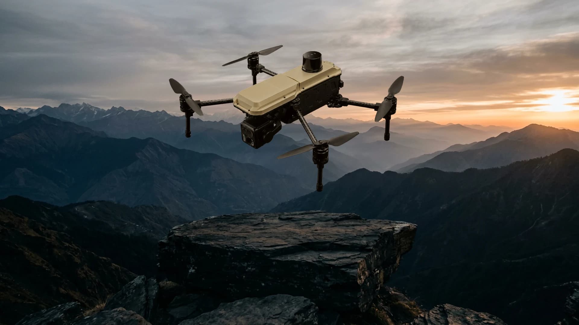
Saksham is NVX's Indian made enterprise drone: 55+ minutes of flight, about 15 km range, RTK positioning and a wide, zoom and thermal camera with a laser rangefinder. Long endurance means larger areas per flight and fewer battery changes on site.
For organisations that survey often, NVX also supplies Saksham with training and support, so your team can fly in-house. See RTK survey and mapping drones and survey drone price in India.
It depends on area, terrain, accuracy and deliverables. Rates commonly quoted in India for standard RGB mapping are roughly Rs 500 to Rs 3,000 per acre, falling for larger areas. Thermal, LiDAR or high-accuracy jobs cost more. NVX gives a written quote after seeing the site and your requirements.
With RTK positioning and ground control points, drone surveys can reach centimetre-level accuracy suitable for engineering work. Without them, maps are still useful for planning and progress tracking. We state the accuracy achieved in every report.
Flying a few hundred acres usually takes a day or less; processing and reporting take a few more days depending on deliverables. Large or multi-site projects are scheduled together.
Yes, under the Drone Rules 2021. Flights need a registered drone and a certified remote pilot, green-zone flights need no extra permission, and yellow or red zones need approval through DigitalSky. We handle the flight planning and permissions for your project.
NVX is based in Connaught Place, New Delhi, and covers Delhi NCR (Noida, Gurugram, Ghaziabad, Faridabad) and projects across India.
The site location or boundary (KML/KMZ, coordinates or a map pin), the approximate area, the outputs you need (maps, contours, volumes, thermal) and your deadline.